


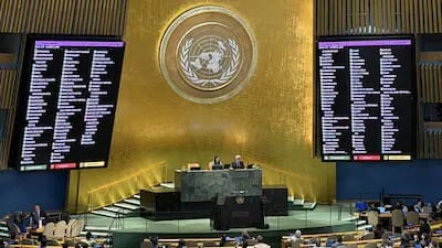
The United Nations General Assembly has agreed to a new world map that aims to more accurately reflect the relative sizes of continents. The resolution, approved on Friday, was supported by 164 countries, opposed by the United States and six countries.
To combat the size exaggeration of the continents offered in the traditional Mercator map projection, the new map employs the Equal Earth spatial projection.
The UN resolution asks member nations to move away from the Mercator map, which Flemish cartographer Gerardus Mercator first designed in 1569, mainly for sailors navigating the seas at sea during his time.
Togo’s foreign minister, Riphande Robert Dussey, who sponsored the resolution, said that maps are key in the perception of the world. According to him, the map is a factor that affects education, imagination and collective perspectives; therefore, the depiction of the map must be accurate.
The United States strongly condemned the decision, saying the United Nations should be discussing problems of more current importance, not a centuries-old game of mapmaking.
International organisation’s “credibility” issues are being raised by such programmes, said US representative Yaryna Ferencevych. She called out the emphasis on historical map projections and how these relate with reparations and “cognitive justice”.
The spoke on the debate is mostly about the drawbacks of the Mercator projection. It generally maintains the shapes and angles of land masses and their land contacts fairly well, but under-does the relative sizes of those features, and to a greater extent, the more distant locations from the Equator.
The Equal Earth projection aims to show the world on a flat map in the most proportionate way with the Earth’s surface.
The resolution provides UN a major step in fostering a more alternative image of the world and upending traditional maps that portray it.