


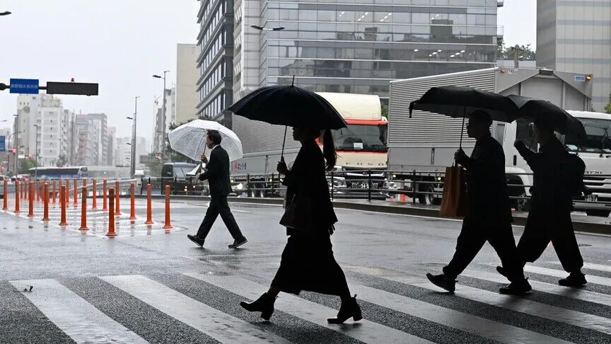
Tokyo has spent weeks under cloudy skies, while thousands of kilometres away, Chile’s Atacama Desert is dressed in colour. Both stories lead back to the same cause: El Niño.
Tokyo’s Endless Rain
According to Japan’s weather agency, a record 37 straight days of rain in the capital ended after a sunny weekend on October 2. The rain, which started on August 27, marked a streak not seen since records began in 1886. The previous record was 33 days, set in 2019.
September made it worse. Since the start of the month, Tokyo received 696.5 millimetres of rain, more than three times its normal level.
According to the Japan Meteorological Agency, the unusual weather pattern was partly due to El Niño, which involves the warming of the Pacific Ocean. Flooding hit the wider Tokyo region as well.
Chile’s Atacama Desert Turns Into a Carpet of Flowers
In contrast, the same pattern did something almost magical in Chile. Heavy El Niño rains turned parts of the Atacama Desert, the driest non-polar desert on Earth, into a carpet of flowers.
Bulbs sprouted as billions of seeds lying dormant for decades transformed the hazy desert into a lush green garden.
The numbers are striking. Between July and August this year, several Chilean regions saw record rainfall, with some totals exceeding previous records set in the 1950s.
The bloom is estimated to cover about 17,000 square kilometres this year. Red and yellow añañucas, garra de león and other iconic flowers now cover hills and ravines, attracting tourists eager to witness the spectacle.
Some parts of the country are reportedly facing storms that are bringing floods.
What Exactly Is El Niño?
El Niño is a natural climate phenomenon that returns every two to seven years and warms the Pacific Ocean. It shifts winds, air pressure and cloud patterns, bringing heavy rain to certain places while causing drought in others.
It is a phenomenon that can flood a megacity and revive a desert in the same season.
Global Pattern, Not Just a Local Story
Tokyo and the Atacama Desert are not the only parts of the world witnessing unusual conditions.
The World Meteorological Organization expects this El Niño to influence global climate through the August-October period, raising the likelihood of above-normal temperatures across much of the world.
Drier-than-normal conditions are forecast for the Indian subcontinent, southern and eastern Australia, northwestern South America and northern Europe, raising the risk of drought and water shortages.
Some effects have already become visible. Drought linked to El Niño is forcing the Panama Canal to handle fewer ships, while Indonesia is facing a prolonged dry season that threatens food security.
Meanwhile, flooding in Thailand has affected 1.7 million people since mid-September.
The worst may still be ahead. A forecast puts the chance of a very strong event in October-December at 81 per cent, potentially rivaling the intense El Niño events of 1982-83, 1997-98 and 2015-16.
Scientists also warn that the warming Pacific is likely to amplify extreme weather conditions already intensified by human-induced climate change.
For now, the stark contrast between a rain-soaked Tokyo and a blooming desert shows how the planet’s weather patterns are interconnected.