


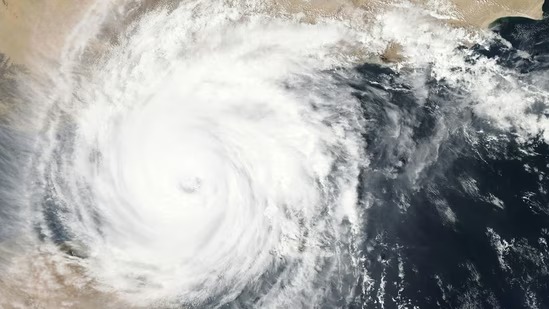
Severe Tropical Cyclone Maila has already developed into a strong Category 4 storm in the Solomon Sea, endangering parts of Australia and the Pacific region. The cyclone is tracking westwards and will weaken in the coming days, but will still pose a tremendous threat.
The Bureau of Meteorology predicts that Cyclone Maila will severely affect far north Queensland early next week. The winds have been measured at 165 km/h at one point around its centre and up to 230km/h, so it is a hazardous weather event.
The cyclone changed course a few weeks ago and has been moving westward since it has been hanging over the Solomon Sea. It is likely to affect Solomon Islands and southern Papua New Guinea. It is projected that Maila will pass over southeastern Papua New Guinea over the weekend and enter the Coral Sea.
Since Sunday, the cyclone has had the potential to track west-southwest and approach Australia along the Far North Queensland coast, with a possible landfall on the north coast of Cape York Peninsula at the beginning of next week. But according to meteorologists, the system might die out over or near Papua New Guinea, making its future trajectory hard to predict.
Communities on the islands in the Milne Bay, such as Woodlark, Sudest, Misima, Rossel and Bougainville, have already received warnings. According to senior meteorologist Ilana Cherny, it is still unclear what the cyclone’s strength will be when it nears southern Papua New Guinea.
Maila is the seventh intense cyclone of the present Australian year. There is another system, Severe Tropical Cyclone Vaianu, which is also bringing additional weather of concern to New Zealand and is on its track.
Join our whatsapp group for Latest updates