


Addressing the objections by China, India has reiterated that the territory of Ladakh is an “integral and inalienable part of India” on Tuesday when it decided on formal identification of and standardising the names of 28 strategic locations in the Union Territory for official mapping.
The Indian government on October 2 identified 28 strategic locations and geographical features in Ladakh which have been identified as points of friction during the standoff in 2020 between the Indian and Chinese troops along the Line of Actual Control (LAC).
This was done in coordination with the Ladakh administration so as to bring the consistency of identifying the geographical features and so as to increase the awareness of people on the sensitive border area as far as maps are concerned and to make them more accurate.
Responding to the objections by the Chinese Ministry, Ministry of External Affairs (MEA) stated that the exact identification of these sites on Survey of India maps were done to ensure them to be identified correctly and to give public awareness.
The ministry also reiterated India’s views on Ladakh, which said it would not have any impacted by objections from China.
Gogra and Hot Spring are of strategic importance due to its proximity to the LAC and its importance for Indian military patrolling. The two sites have been a source of conflict between India and China regarding a clash in the border areas in 2020.
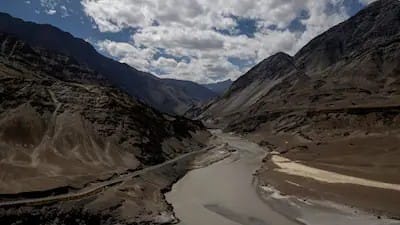
The 28 locations identified by India have a number of mountains, peaks, glaciers, passes, valleys and rivers among them. The ones include Alisha Giri, chapter pass, Kanishka peak, Karun pir mountain, Parpik glacier, Skamri glacier, shachmirik pass, Srokka valley and Zorawar peak.
There are more than that, too, such as Dehra Compass, Drak Karpo, Jolmori, Kumarayana Point, Panglung, Rinchen Zangpo, Sakyasri Giri, Guru Rinpoche, Yangpa River, Marpa Lotsava Ri, Milarepa Kangri, Shiva Ri and Maheshwara Ri. Also included is Shamal Lungpa, a patrol and staging route that was created in the 1950s.
It reflects the ongoing fraughtness over the conflict between India and China at the border and the significance each nation places on claims to territory and official cartography. This is the most recent shift in roles that has been mediated over the decades in order to resolve tensions between LAC.