


When a flash flood killed at least 95 people and left hundreds missing near the Nepal-Tibet border this week, officials pointed to an avalanche of ice and rock that had slammed into the Bhotekoshi river. That’s the trigger. But the real story is underneath it — geography that’s been stacking the odds against Nepal for as long as anyone’s been keeping records.
Here’s the thing about what actually turns a flood deadly: you need volume, you need speed, and you need it to arrive with no warning. Nepal’s landscape just happens to check all three boxes, almost as if it were built that way.
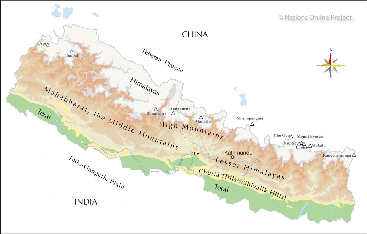
Start with the slope. Nepal squeezes the tallest mountains on Earth into one of the narrowest countries, which means its rivers don’t have room to slow down. A river that might crawl across flat land elsewhere instead drops thousands of metres over a short distance here. So when something disrupts the flow upstream — ice breaking off a glacier, a lake bursting its banks — the resulting surge doesn’t spread out and lose power. It stays concentrated, accelerates through narrow gorges, and slams into whatever’s downstream within minutes.
That “something upstream” is usually one of two things: a glacial lake outburst or an avalanche, both becoming more common as glaciers destabilize with rising temperatures. This is essentially what triggered this week’s disaster, and what caused a nearly identical flood along the same river system in July 2025. The high mountains that make Nepal famous are also, mechanically, flood generators — they store huge volumes of unstable ice and water at altitude, with gravity doing the rest.
Then there’s where people actually live. In a country with so little flat ground, river valleys aren’t just geography — they’re where the roads, villages, hydropower stations and trade routes have to go. That’s not a choice communities are making carelessly; it’s often the only viable land available. But it means the exact places most exposed to a sudden surge are also the most densely used.
Finally, monsoon rain adds a trigger on top of a trigger. Heavy rainfall saturates slopes and can dam rivers temporarily with landslide debris — and when that natural dam breaks, the flood arrives all at once, leaving almost no time to evacuate.
Put together, it’s not really one disaster explaining another — it’s a system where altitude, unstable ice, steep terrain and human settlement all point in the same dangerous direction, and climate change is now pushing that system further out of balance.